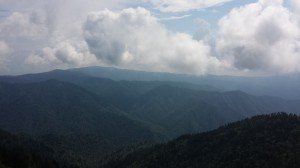
A few weeks ago I went on a backpacking trip on the Appalachian Trail from Clingmans Dome to Cades Cove and stayed overnight in the Derrick Knob shelter. I went with a group of people that I had never hiked with before and I had very little planning time because I decided to go the afternoon before we left out. During the little time I was preparing for this trip I did not check the 8 things listed below and ended up paying for it. It rained the whole time and was much colder than I expected. I was completely wearing the wrong shoes for the muddy conditions and I didn’t know the elevation changes of the terrain. After that trip I decide to never cut corner on the planning. Here are the list of 8 things you should know before ever heading out.
First off I am going to give you a list of common places to check when gathering data about a hiking or backpacking trip you are planning:
- Climate Databases
- Topographical Maps
- I have found that the waterproof National Geographic Maps are great.
- Satellite Images
- Trail Guidebooks
- Backpacking Websites
- Forums
- Public Land Agencies
- Trip Reports
- Pictures of the area
- By calling or Emailing the following:
- Park Rangers
- Outfitters
- Bush Pilots
- Other Experienced Backpackers
1. Temperatures
When planning a trip in advance or a long trip such as a month long trip a 7 day forecast does not help you very much. when this is the case you can go by historical temperature data which can be found at the National Climatic Data Center (NCDC). I have used this website and although functional I find that using a site such as Wunderground is much easier. You can also find historical temperature information at regional and local climate centers. In my case I use the Southeast Regional Climate Center (SERCC) and find their website is much easier to navigate than the NCDC.
Temperature and Elevation
In my intro story I told about the unexpected cold temperatures. It had been hot weather during my most recent hike the weekend before. This did not mean that this particular weekend would be hot. I also did not factor in elevation when determining the temperature for the weekend.

Temperature changes about 3.3 degrees F per 1,000 feet of vertical elevation change. Higher elevations produce lower temperatures and lower elevations produce higher temperatures. With this being the case the average high temperature for July in Gatlinburg, TN is 86F and the low is 62F with an elevation of 1585 ft. The shelter where I stayed is at an elevation of 4901 ft. This is a difference in elevation of 3315 ft or 11 degrees F colder. This would make the average high temperature for July 75F and a low of 51F. This is much closer to what I experienced that weekend.
2. Precipitation
If you are planning a short trip you can often plan ahead with the historical climate data and then go by the 7 day forecast before leaving. Historical precipitation data can be found with the temperature data. Again Wunderground can make this easy to find.
If you are planning a long trip then it is better to look at a color coded precipitation geographic information system(GIS). You can find this at the NCDC and regional climate centers.
3. Daylight
Knowing how much daylight you will have per day is important so that you know ahead of time how to pack accordingly and how to make use of the daylight you will have at hand. For example, If you there is going to be less sunlight then you will want to pack a brighter flashlight for hiking in the dark and setting up camp versus bringing a less powerful light. This information can also be found at Wunderground.
4. Ground Cover
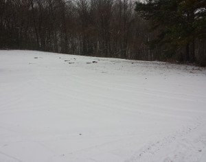
Again back to my intro story. On that trip I wore regular trail running shoes for the wet and muddy conditions. This was a bad idea for me or really anyone else. Before heading out you should know what the ground cover is like. Will it be muddy, rocky, snowcovered, or leave covered. All of this can have an impact on the type of footwear you are wearing.

Although you may not find a database that has all of this information for the trails you will be on, there are ways to get this information. Examples of this include:
- Look at pictures of the trail.
- Read descriptions of the trail.
- Contact by phone or email someone who would know the ground cover conditions such as a park ranger or hiker previously on the trail.
For information on snow coverage you can go to the National Operational Hydro-logic Remote Sensing Center website. You can also get this information from Wunderground.
5. Sun Exposure
When outdoors no one wants to get sunburn, so why not check to see the risk of it? Sun exposure can depend on the vegetation, cloud cover, elevation, surface reflectivity, and strength of the sun. When in thick vegetation there will be more shade. You can check a topographical map and pictures for vegetation details.
6. Water Availability

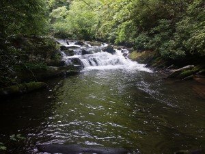
Anytime you are doing anything outdoors it is important to have a good water source. You can check topographical maps for springs and creeks but this is not always the most reliable method. You should consult with someone who is familiar with the area before heading out on the trail. Online reports and guidebooks are a great resource too.
7. Wildlife and Insects.
Not knowing what wildlife and insects await you can ruin a trip at the least. Dealing with swarms of mosquitoes, gnats, and other small insects can be a terrible way to spend a hiking trip. You should also be aware of wildlife that you may need to protect your food from such as bears, raccoons, and mice.

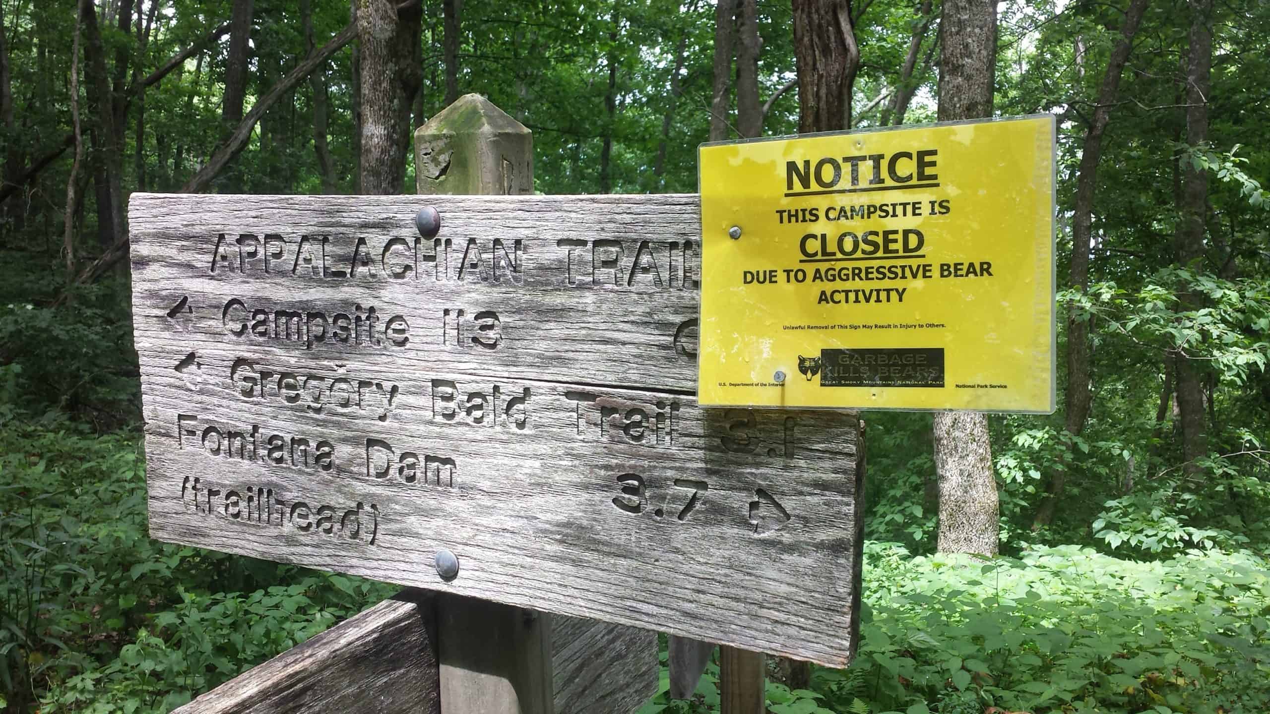
Being aware of dangerous animals such as snakes, bears, and porcupines is important. In the area where I live it is very common for campsites to be closed due to high bear activity.
Wildlife reports can be found on the National Park Service website. You can also find wildlife and insect information on online blogs and community forums.
8. Remoteness
If something were to happen that caused you to have be rescued then it would be great to know things such as:
- What types of communications devices have reliable coverage?
- How much traffic does the area get?
- How thick is the vegetation?
- How likely is it for another hiker to find you?
- How far away is civilization such as a road or town?
- How often do planes go over the area?
You can find this information by looking at cell phone coverage maps and topographical maps.
Expert Tip: You can collect information such as road crossings, where to resupply, and water sources, then store it on a smart phone so that you will always have this info with you.
So there you have it, 8 things you should know before heading out on the trail. I hope that you found this helpful and do not make the same mistake I did. If you found this helpful please share this with a friend whom you thing can benefit from this such as a hiking buddy.
